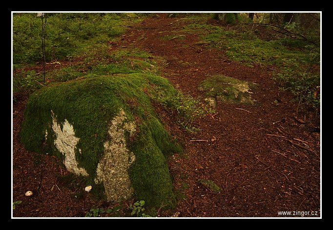
| ... a tak jsem fotil cestičky podél řeky... |
|
| 3 GPS 08. 10. 2016 13:41:47, Čeňkova Pila, 6/1 sec, f 22, ISO 100 , 18 mm, Blesk Off |
Cesta
2016/10/669/20161008-032.jpg
Contains Exchangeable Image File Format (EXIF) Information
Main Image Information
| Image Width | 682 pixels |
| Image Length | 472 pixels |
| Compression | Uncompressed |
| Photometric Interpretation | RGB (Red Green Blue) |
| Make (Manufacturer) | Canon |
| Model | Canon EOS 7D |
| Orientation | No Rotation, No Flip
(Row 0 is at the visual top of the image,
and column 0 is the visual left-hand side) |
| X Resolution | 1207959552/16777216 (72) pixels per 'Resolution Unit' |
| Y Resolution | 1207959552/16777216 (72) pixels per 'Resolution Unit' |
| Planar Configuration | Chunky Format |
| Resolution Unit | Inches |
| Software or Firmware | Zoner Photo Studio 16 |
| Date and Time | 2016:10:13 10:15:03 (Format: YYYY:MM:DD HH:mm:SS) |
| Artist Name | Ing. Daniel Žingor |
| YCbCr Positioning | Chrominance components Centred in relation to luminance components |
| Copyright Information | © Daniel Žingor |
EXIF Image File Directory (IFD) contents
| Exposure Time | 6/1 (6) seconds |
| Aperture F Number | 22/1 (22) |
| Exposure Program | Aperture priority |
| ISO Speed Ratings | 100 |
| Exif Version | 0221 |
| Date and Time of Original | 2016:10:08 13:41:47 |
| Date and Time when Digitized | 2016:10:08 13:41:47 |
| Components Configuration | Component 1: Y (Luminance)
Component 2: Cb (Chroma minus Blue)
Component 3: Cr (Chroma minus Red)
Component 4: Does not exist |
| APEX Shutter Speed Value (Tv) | -172032/65536 (-2.625) |
| APEX Aperture Value (Av) | 589824/65536 (9) |
| APEX Exposure Bias Value (Exposure Compensation) | -2/1 (-2) EV |
| Metering Mode | Pattern |
| Flash | Flash did not fire, compulsory flash suppression mode |
| FocalLength | 18/1 (18) mm |
| User Comment | |
| Sub Second Time | 05 |
| Sub Second Time of Original | 05 |
| Sub Second Time when Digitized | 05 |
| FlashPix Version | 0100 |
| Colour Space | sRGB |
| Pixel X Dimension | 682 pixels |
| Pixel Y Dimension | 472 pixels |
| Focal Plane X Resolution | 5184000/907 (5715.545755237) pixels per 'Focal Plane Resolution Unit' |
| Focal Plane Y Resolution | 3456000/595 (5808.4033613445) pixels per 'Focal Plane Resolution Unit' |
| Focal Plane Resolution Unit | Inches |
| Special Processing (Custom Rendered) | Normal process |
| Exposure Mode | Auto exposure |
| White Balance | Manual white balance |
| Scene Capture Type | Standard |
Interoperability Image File Directory (IFD) contents
| Interoperability Index | R98 |
| Interoperability Version | 0100 |
GPS Info Image File Directory (IFD) contents
| GPS Tag Version | 2,
2,
0,
0 (e.g.: 2.2.0.0 = Version 2.2 ) |
| North or South Latitude | N |
| Latitude | 49/1 (49),
595680/100000 (5.9568),
0/1 (0) (Degrees Minutes Seconds North or South) |
| East or West Longitude | E |
| Longitude | 13/1 (13),
2974447/100000 (29.74447),
0/1 (0) (Degrees Minutes Seconds East or West) |
| Altitude Reference | Sea Level |
| Altitude | 707670/1000 (707.67) Metres with respect to Altitude Reference |
Contains Extensible Metadata Platform (XMP) / Resource Description Framework (RDF) Information
Dublin Core Metadata Initiative RDF Segment
XMP - embedded EXIF Segment
XMP Basic Segment
Unknown RDF Segment 'Iptc4xmpCore'
| Creator(s) (Authors): | Ordered List:
Ing. Daniel Žingor |
| Rights Statement: | List of Alternates:
© Daniel Žingor |
| Subject and Keywords: | Unordered List:
Krajina |
| Description (Caption): | List of Alternates:
... a tak jsem fotil cestičky podél řeky... |
| GPS Longitude: | 13,29.744471E |
| GPS Latitude: | 49,5.956800N |
| GPS Altitude: | 707670/1000 |
| GPS Altitude Reference: | 0 |
| Unknown field xmp:Label: | Green |
| Unknown field xmp:Rating: | 3 |
| Unknown field Iptc4xmpCore:Location: | Čeňkova Pila |